

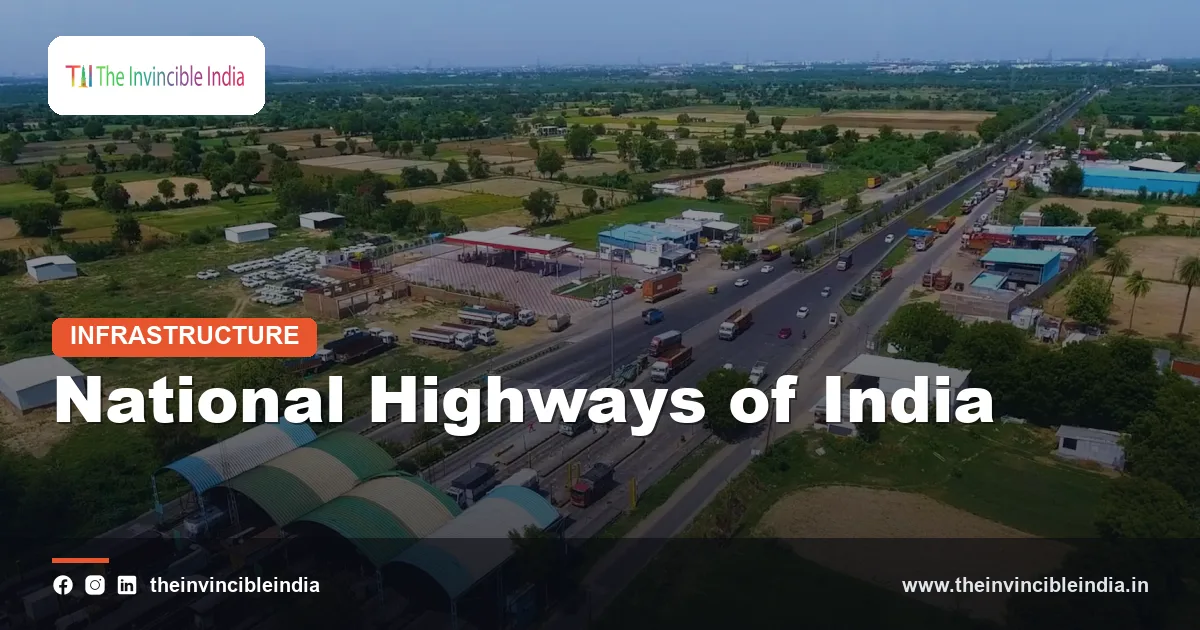
The national highways of India form the main arterial spine of one of the largest road networks in the world. Linking state capitals, major ports, industrial hubs, border areas and pilgrimage centres, these roads carry a very large share of the country’s goods and passenger traffic despite making up only a small fraction of the total road length. They are the responsibility of the Union Government, in contrast to state highways and district roads, which are looked after by state authorities and local bodies.
Over the past three decades, India has moved from a patchwork of narrow, congested highways to a growing system of four-lane, six-lane and access-controlled expressways. This transformation has been driven by large national programmes, new contracting models and dedicated institutions such as the National Highways Authority of India (NHAI). This article explains how the network is organised, how highways are numbered, which programmes built them, and how they are financed.
Quick Facts
| Item | Details |
|---|---|
| Governing ministry | Ministry of Road Transport and Highways (MoRTH) |
| Main implementing body | National Highways Authority of India (NHAI) |
| Founding law of NHAI | National Highways Authority of India Act, 1988; became operational in the mid-1990s |
| Principal legislation | National Highways Act, 1956 |
| Numbering reform | New numbering system notified in 2010 |
| Landmark programmes | NHDP (from 1998-99), Golden Quadrilateral, North-South and East-West Corridors, Bharatmala Pariyojana (2017) |
| Network size | Well over one lakh kilometres, and expanding every year |
| Key funding models | BOT (Toll), BOT (Annuity), EPC and Hybrid Annuity Model (HAM) |
The Scale of India’s Road Network
India’s total road network, taking in national highways, state highways, major district roads, rural roads and urban streets, is among the largest in the world, running to several million kilometres. Roads carry the majority of the country’s freight and an even larger share of passenger travel, which makes the quality of the highway network central to economic growth, trade and regional development.
The national highways are the best-engineered tier of this system. While they account for only a small proportion of the overall road length, they handle a disproportionately large share of vehicular traffic, since long-distance trucks, buses and cars are concentrated on them. The network has grown steadily with the addition of new alignments and the upgrading of existing ones, and the length of national highways has increased substantially since the early 2000s.
Hierarchy of roads
- National highways: trunk routes connecting states, major cities and ports, maintained by the Centre.
- State highways: routes connecting district headquarters, towns and national highways within a state.
- Major district roads: roads that link production and market centres within districts.
- Rural and village roads: local access roads, many built under the Pradhan Mantri Gram Sadak Yojana.
- Expressways: access-controlled, high-speed corridors, some built by the Centre and some by states.
Who Is Responsible: The Ministry and NHAI
The Ministry of Road Transport and Highways, headed by a Cabinet Minister, is the nodal ministry for national highway policy, planning and funding. It also administers the Motor Vehicles Act and oversees road safety, vehicle regulation and transport policy. The ministry sets standards, allocates budgets, and approves large highway projects through its internal committees and, for the biggest projects, through the Cabinet.
The National Highways Authority of India was created by an Act of Parliament in 1988 and began functioning in the mid-1990s. It is an autonomous agency under MoRTH and is entrusted with the development, maintenance and management of national highways that have been assigned to it, including the major corridor programmes. NHAI prepares project reports, invites bids, supervises concessionaires and collects tolls on a large number of stretches.
Other agencies in the highway space
- State public works departments: build and maintain many national highway stretches on behalf of the Centre.
- Border Roads Organisation (BRO): established in 1960, it builds strategic roads, bridges and tunnels in border and mountain regions.
- National Highways and Infrastructure Development Corporation (NHIDCL): set up in 2014 to develop highways in the north-east and other strategically important or difficult regions.
The National Highways Act and Legal Framework
The legal basis for the national highways is the National Highways Act of 1956, which empowers the Central Government to declare any highway to be a national highway and to take responsibility for it. The Act has been amended from time to time, especially to streamline land acquisition for highway projects. It provides a special procedure for acquiring land for national highways, which has been central to speeding up large road projects.
A related law, the National Highways (Land and Traffic) Act of 2002, protects highway land from encroachment and allows regulation of traffic and construction near highways. Toll collection is governed by rules framed under the National Highways Fee framework, which specify how user fees are charged on different sections. These rules cover concessions for local residents and exemptions for certain categories of vehicles.
How National Highways Are Numbered
For decades, national highways were known by simple numbers such as NH 1 for Delhi to Amritsar and NH 2 for Delhi to Kolkata. In 2010, the Ministry introduced a rationalised numbering system to make the numbering more logical, and later extended it to fully cover the network. The system is based on the direction and the hierarchy of the road.
- Major north-south highways are given even numbers, while major east-west highways are given odd numbers.
- Two-digit numbers are used for main trunk highways, such as NH 44, which runs from Srinagar in the north to Kanyakumari in the south and is the longest national highway in the country.
- Three-digit numbers are used for branches and spurs, derived from the number of the parent highway.
- Suffixes such as A, B or C are sometimes used for extensions and alternative alignments.
Examples of well-known highways include NH 48, which connects Delhi with Mumbai and runs on to Chennai, and NH 19, which links Delhi and Kolkata along the old Grand Trunk Road alignment. Since renumbering, many roads known by older numbers now carry new numbers, which is why older maps and references can differ from current ones.
The National Highways Development Project
The turning point for India’s highways came with the National Highways Development Project (NHDP), launched in the late 1990s under the leadership of then Prime Minister Atal Bihari Vajpayee. It was the first time that the country had put together a long-term, large-scale programme to widen major highways to modern standards, using dedicated funds and a clear timeline.
NHDP was divided into phases. The aim of the early phases was to link the biggest metropolitan cities and key ports with high-capacity roads, while later phases extended the focus to additional corridors and to widening highways to six or eight lanes in the busiest sections. Many projects were executed through public-private partnership, allowing private firms to build, operate and maintain roads in exchange for toll revenue.
Phases at a glance
| Phase | Main focus |
|---|---|
| Phase I and II | Golden Quadrilateral, North-South and East-West Corridors |
| Phase III | Four-laning of high-density trunk routes |
| Phase IV | Upgrading single-lane and two-lane roads to wider standards |
| Phase V and VI | Six-laning of key stretches and development of expressways |
| Phase VII | Ring roads, bypasses and grade separators in congested locations |
The Golden Quadrilateral and the Corridors
The best-known component of NHDP is the Golden Quadrilateral, a roughly 5,800-kilometre network of four- and six-lane highways connecting Delhi, Mumbai, Chennai and Kolkata. It formed a vast loop that tied the four largest metropolitan areas together, also passing through many other cities, including Ahmedabad, Bengaluru, Hyderabad, Pune, Jaipur and Visakhapatnam in its immediate catchments. It was largely completed by the early 2010s.
Alongside it, the North-South and East-West Corridors were planned to link the extremities of the country. The North-South Corridor connects Srinagar in Jammu and Kashmir to Kanyakumari in Tamil Nadu, with a branch linking Kochi and Salem. The East-West Corridor connects Silchar in Assam to Porbandar in Gujarat. Together, they intersect near Jhansi in Uttar Pradesh, forming a cross over the central part of the country.
Why these corridors mattered
- They cut travel time between major cities and reduced the cost of moving goods.
- They triggered the growth of logistics, warehousing and industrial parks along the routes.
- They improved road safety standards through better design, medians and bypasses.
Bharatmala Pariyojana
In 2015, the Government announced a new umbrella programme for highway development, which was approved by the Cabinet in October 2017 as the Bharatmala Pariyojana. It was meant to take a more systematic, corridor-based approach rather than building highways in isolated segments. Instead of simply widening existing roads, it aimed to study freight and passenger flows and to develop corridors to carry the most traffic efficiently.
Bharatmala includes several types of projects:
- Economic corridors: major routes selected on the basis of freight movement and economic activity.
- Inter-corridor and feeder routes: roads that connect the corridors to each other and to hinterlands.
- National corridor efficiency improvements: removing bottlenecks, building bypasses, and improving multi-lane stretches.
- Border and international connectivity roads: routes to border areas and neighbouring countries.
- Coastal and port connectivity roads: links to ports in line with the Sagarmala programme.
- Expressways: new access-controlled routes to carry high-speed, long-distance traffic.
- Greenfield expressways and logistics parks: new alignments and freight hubs to reduce logistics costs.
The programme’s implementation has been spread across multiple phases, and the scale of work envisaged was in the tens of thousands of kilometres. Later reviews adjusted the scope and the sequencing of projects.
Expressways and Modern Highway Features
Expressways are controlled-access highways that have no at-grade crossings, entry and exit only at designated points, and design speeds higher than those of ordinary highways. The Mumbai-Pune Expressway, opened in the early 2000s, was among the first of this kind in the country. Since then, several others have come up, including the Yamuna Expressway between Greater Noida and Agra, the Eastern and Western Peripheral Expressways around Delhi, and long expressway corridors between major cities such as Delhi and Mumbai.
Technology on the highways
- FASTag: an electronic toll collection system that uses radio-frequency identification and has largely replaced cash collection at toll plazas.
- Intelligent traffic management: cameras, variable message signs and control centres on key sections.
- Wayside amenities: rest areas, fuel stations and emergency services along expressways.
- Safety design: crash barriers, service roads, underpasses for animals and people, and speed enforcement.
How Highways Are Financed and Built
Highway projects are expensive, and the Government has used a variety of financing and contracting models to bring in private capital and manage risk. The model chosen for each project depends on traffic levels, expected toll revenue and the risk appetite of private investors.
| Model | How it works |
|---|---|
| BOT (Toll) | A private concessionaire builds the road, operates it and recovers its investment from toll collection over a concession period; traffic risk lies with the private party. |
| BOT (Annuity) | The concessionaire builds and maintains the road, and is paid fixed annuities by the government; traffic risk lies with the government. |
| EPC | Engineering, Procurement and Construction: the government pays the contractor for construction and takes full responsibility for funding and operations. |
| HAM (Hybrid Annuity Model) | Introduced in 2016, a part of the project cost is paid by the government during construction and the rest is paid as annuities, balancing risk between both sides. |
| TOT (Toll-Operate-Transfer) | Existing operational highways are leased to private operators for a fixed period in exchange for an upfront payment. |
Public funds come from the Union Budget, fuel cess collections credited to the Central Road and Infrastructure Fund, borrowings by NHAI through bonds, and monetisation of completed assets. Infrastructure investment trusts, set up for road assets, have also been used to attract long-term investors.
Challenges Facing the Highway Network
Despite the progress, India’s highways face real challenges. Land acquisition remains one of the biggest hurdles, with disputes over compensation and rehabilitation causing delays. Encroachments, unauthorised access points and local traffic mixing with long-distance traffic reduce speeds and raise the risk of accidents. Road safety is a major concern, as India records a large number of road accident deaths every year, and improving driver behaviour, enforcement and emergency response is a continuing priority.
Environmental and ecological issues are also significant. New alignments pass through forests, wetlands and wildlife corridors, which call for careful planning, underpasses and compensatory afforestation. Maintenance is another persistent issue, because the quality of roads depends on sustained funding and regular monitoring. Climate change, with heavier rainfall, landslides and floods, adds stress on highways, particularly in the Himalayan and coastal regions.
Conclusion
The national highways of India have evolved from a limited network of narrow roads into a modern system anchored by landmark programmes such as the NHDP, the Golden Quadrilateral and the Bharatmala Pariyojana. A mix of institutions, legal provisions and financing models has enabled rapid expansion, while reforms such as the 2010 numbering system and electronic tolling have made the network easier to navigate and manage. The next phase of development will depend on how well the country balances speed of construction with safety, environmental protection and fair treatment of those affected by land acquisition.
Frequently Asked Questions
Which ministry manages the national highways of India?
The Ministry of Road Transport and Highways (MoRTH) is responsible for national highway policy and funding. The National Highways Authority of India (NHAI), created under a 1988 Act, is the main agency that builds, maintains and manages many of these highways.
How are national highways numbered in India?
Under the system notified in 2010, major north-south highways carry even numbers and major east-west highways carry odd numbers. Two-digit numbers denote main trunk routes, and three-digit numbers are used for branches derived from a parent highway.
What is the Golden Quadrilateral?
It is a network of four- and six-lane highways of roughly 5,800 km connecting Delhi, Mumbai, Chennai and Kolkata. It was the flagship component of the National Highways Development Project and was largely completed by the early 2010s.
What is the Bharatmala Pariyojana?
Bharatmala Pariyojana is an umbrella highway development programme approved in October 2017. It takes a corridor-based approach and covers economic corridors, feeder routes, border and coastal roads, expressways and efficiency improvements on existing national corridors.
What is the Hybrid Annuity Model (HAM)?
HAM is a public-private contracting model introduced for highways in 2016. The government pays part of the project cost during construction and the remainder as annuities, which shares risk between the government and the private developer more evenly than earlier models.
What is the difference between national highways and expressways?
National highways are trunk roads declared as such by the Central Government and often have junctions, bypasses and local access. Expressways are access-controlled highways with entry and exit only at designated points, designed for higher speeds and long-distance traffic.


