

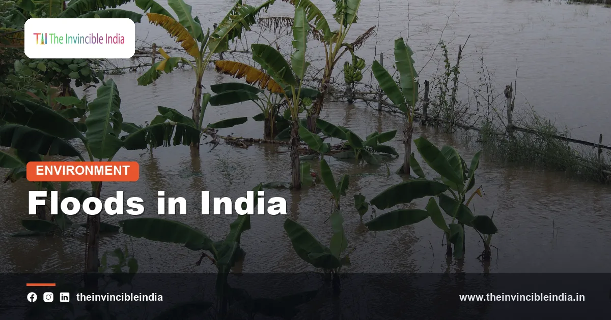
Floods in India are among the most frequent and costly natural hazards the country faces. Every year, when the southwest monsoon sweeps across the subcontinent between June and September, some river, somewhere, rises above its banks. In the Brahmaputra valley, the Gangetic plain, the Kerala backwaters and the crowded lanes of coastal cities, high water has become a seasonal reality that communities plan around and governments spend heavily to manage.
This explainer sets out why India is so exposed, which regions suffer most, how human activity has made matters worse, and what institutions such as the Central Water Commission do to forecast and manage floods. It also looks at the newer problem of urban flooding in cities like Mumbai and Chennai, and at the difference between living with floods and trying to control them.
Quick Facts
| Aspect | Detail |
|---|---|
| Main season | Southwest monsoon, June to September |
| Most flood-prone river systems | Brahmaputra, Ganga and its tributaries (Kosi, Gandak, Ghaghara), Mahanadi, Godavari, Krishna |
| Most affected states | Assam, Bihar, Uttar Pradesh, West Bengal, Odisha, Kerala |
| Flood-prone area estimate | Roughly 40 million hectares, as assessed by the Rashtriya Barh Ayog (National Flood Commission) in 1980 |
| Forecasting agency | Central Water Commission (CWC), which began flood forecasting in 1958 |
| Rainfall record in Mumbai | About 944 mm in 24 hours at Santacruz on 26 July 2005 |
| Key legal framework | Disaster Management Act, 2005 |
| Traditional name for the Kosi | “Sorrow of Bihar” |
Why Is India So Prone to Floods?
Three features of geography combine to make flooding almost inevitable. First, rainfall in India is highly concentrated. The southwest monsoon delivers the bulk of the annual rainfall in about four months, and within those months a large share falls in just a few spells of heavy rain. Second, the Himalayan rivers carry the runoff of steep, young mountains and fall suddenly onto flat plains, where their speed drops and their load of sediment is dumped. Third, the plains themselves are densely populated, which means that even a modest rise in river level affects millions of people.
Floods are not only a disaster; they are also a natural process. The fertile alluvial soil of the Ganga and Brahmaputra plains was built by centuries of river deposition, and traditional farming systems evolved to use the silt and moisture left by receding water. The problem today is that flood plains have been occupied by permanent settlements, roads and railways, so a natural event becomes a human catastrophe.
The Role of the Southwest Monsoon
The monsoon arrives over Kerala around the start of June and covers most of the country by early July. Heavy spells arise from low-pressure systems and depressions that form over the Bay of Bengal and move inland, as well as from the monsoon trough that shifts position during active and break phases. When an active spell coincides with already saturated soil, the result is rapid runoff and swollen rivers.
Other rainfall triggers
- Cloudbursts: sudden, very intense rainfall over a small area, common in the Himalaya, which can cause flash floods and landslides.
- Cyclones: systems from the Bay of Bengal and Arabian Sea cause storm surges and heavy rain along the coast, notably in Odisha, West Bengal, Andhra Pradesh and Tamil Nadu.
- Northeast monsoon: the retreating monsoon brings heavy rain to Tamil Nadu and nearby coasts in October to December, as in the Chennai floods of late 2015.
- Glacial lake outbursts: in high mountain valleys, a moraine-dammed lake can burst suddenly and send a surge of water downstream.
Major Rivers and Their Flood Behaviour
Each river basin floods in its own way, and understanding these differences explains regional patterns.
The Brahmaputra and Barak systems
The Brahmaputra, which enters India from Tibet as the Siang, receives a huge volume of rainfall and snowmelt and is joined by dozens of fast-flowing tributaries in Assam. Its braided channel is wide, shifts constantly and is prone to bank erosion. Floods in Assam typically occur in waves between June and September and are accompanied by loss of agricultural land and the displacement of river-island communities such as those of Majuli.
The Ganga and its tributaries
The Ganga system floods mostly because of its northern tributaries, which descend from the Himalaya in Nepal and Uttarakhand: the Ghaghara, Gandak, Burhi Gandak, Bagmati, Kamla and Kosi. Because the rivers carry heavy silt, their beds rise over time and they often change course. The Kosi, which has shifted its channel by many kilometres over a couple of centuries, earned the name “Sorrow of Bihar.” In August 2008 its embankment breached near Kusaha in Nepal and the river took a route it had abandoned long ago, flooding large parts of north Bihar.
Peninsular and west-flowing rivers
The Mahanadi, Godavari and Krishna flood in their deltas, where cyclonic storms and heavy catchment rain coincide. West-flowing rivers like the Narmada and Tapi, and the short rivers of Kerala, cause sharp, fast floods because their catchments are steep. The Jhelum in Kashmir flooded severely in September 2014, inundating Srinagar.
Flood-Prone States and Regions
Official assessments have repeatedly shown that a large share of the country’s flood damage is concentrated in a few states.
| State | Main flood sources | Typical pattern |
|---|---|---|
| Assam | Brahmaputra, Barak and tributaries | Repeated waves, severe erosion, wildlife impact in Kaziranga |
| Bihar | Kosi, Gandak, Bagmati, Mahananda | Silt-laden rivers, embankment breaches, long-standing waterlogging |
| Uttar Pradesh | Ghaghara, Rapti, Ganga, Yamuna | Floods in the eastern and Terai districts |
| West Bengal | Ganga, Damodar, Teesta, coastal storm surges | Riverine and deltaic flooding |
| Odisha | Mahanadi, Brahmani, Baitarani | Delta floods, often combined with cyclones |
| Kerala | Periyar, Pamba, Chalakudy and other short rivers | Intense rain on steep catchments, dam releases, landslides |
Kerala’s floods of August 2018 were the worst the state had seen in nearly a century, and showed that even a region with a long coastline and short rivers can face widespread inundation when exceptional rainfall coincides with full reservoirs.
Why Floods Are Getting More Damaging
Rainfall extremes are one cause, but human choices have a larger share of the blame for rising losses. Experts commonly point to the following factors.
- Deforestation in catchments: loss of forest cover in the Himalaya and the Western Ghats reduces the ability of soil to absorb water, increasing runoff and landslides.
- Siltation: the Himalayan rivers carry enormous sediment loads. As the silt settles, river beds rise, channel capacity shrinks and reservoirs lose storage.
- Encroachment on flood plains: homes, roads and industries are built on land that rivers naturally use during high flows.
- Poor drainage and blocked channels: roads, railway lines and canals built without adequate culverts impede natural drainage and cause prolonged waterlogging.
- Loss of wetlands and ponds: these act as natural sponges, and their destruction removes storage that once held floodwater.
- Climate change: a warming atmosphere holds more moisture, and studies indicate an increase in short, intense bursts of rain in many regions.
Urban Flooding: Mumbai, Chennai and Beyond
Urban flooding is now a distinct challenge. In a city, rain that would soak into soil instead runs off roofs and roads into drains designed for much lower flows. When drains are choked with solid waste, or when the tide is high and blocks outfalls, water backs up into streets and low-lying colonies.
Mumbai, 2005
On 26 July 2005, Mumbai recorded about 944 mm of rain in 24 hours at its Santacruz observatory, an extraordinary amount for a single day. The Mithi river overflowed, its narrowed channel and encroached banks unable to carry the flow, and the city came to a standstill, with trains, roads and airports shut. The event led to major reviews of drainage, the Mithi river’s rehabilitation and city disaster planning.
Chennai, 2015
Between November and early December 2015, repeated heavy spells under the northeast monsoon flooded Chennai. Encroached lakes and the Adyar and Cooum river channels, along with the release of water from a major reservoir, magnified the crisis. Large parts of the city were submerged for days.
Other cities, including Hyderabad, Bengaluru, Srinagar, Surat and Kolkata, have faced similar episodes. A common thread is that natural lakes, marshes and stormwater channels that once absorbed rain have been built over.
Structural Measures: Embankments, Dams and Reservoirs
For many decades the dominant approach to flood control was structural. This included embankments along riverbanks, dams and reservoirs to store peak flows, channel improvement and diversion of floodwater.
- Embankments: thousands of kilometres of embankments protect land in Bihar, Assam, Uttar Pradesh and West Bengal. They give security in normal years, but can also trap silt, raise river beds and cause devastating breaches, as at Kusaha in 2008.
- Dams and reservoirs: multi-purpose projects such as Hirakud on the Mahanadi, Bhakra on the Sutlej and the Damodar Valley Corporation projects (set up in 1948) were designed partly to moderate floods. Their effect depends on how carefully reservoir levels are managed before and during the monsoon.
- Barrages and diversions: structures like the Farakka Barrage on the Ganga regulate flow and divert water, though they too can alter sediment movement.
- Channel improvement and drainage: dredging, raising banks and constructing new drainage lines can relieve waterlogging in the plains.
Experience shows that no embankment or dam can provide absolute protection. Engineers therefore speak of “moderation” rather than “control” of floods.
Forecasting and Early Warning: The Central Water Commission
The Central Water Commission (CWC), a technical body under the Ministry of Jal Shakti, is the principal agency for flood forecasting in India. Flood forecasting began in 1958, with the first warning issued for the Yamuna at Delhi, and has since expanded to a wide network of stations across major river basins. Hundreds of gauging stations record water level and discharge, and forecasts are shared with state governments, district administrations, the media and the public during the monsoon season.
How forecasts work
CWC compares observed river levels at a station with fixed reference marks called the warning level and the danger level. A forecast gives the expected level at a station some hours ahead, typically based on upstream observations and rainfall data from the India Meteorological Department (IMD). Advisories classify floods by severity, from low through moderate and high to unprecedented levels, based on how far the water has risen above the danger mark or past previous records. Modern systems also use satellite imagery, radar and hydrological models to improve the lead time.
The IMD adds weather warnings, with colour-coded alerts that range from green through yellow and orange to red, while the Ganga Flood Control Commission, established in 1972, and the Brahmaputra Board, set up in 1980, coordinate planning for their respective basins.
Flood Management: From Control to Living with Floods
Policy has gradually moved from a purely engineering approach to an integrated one. The key ideas in modern flood management include:
- Flood plain zoning: regulating land use in flood plains so that vulnerable activity is kept out of high-risk areas. A model bill on this was circulated to states in the 1970s, but implementation has remained uneven.
- Early warning and evacuation planning: community-level warning systems, flood shelters and trained rescue teams.
- Watershed management: afforestation, check dams and soil conservation in catchments to slow runoff.
- Flood-proofing: raised platforms for homes and tube wells, flood-resistant crops and boats stored for emergencies.
- Insurance and relief: compensation systems and crop insurance schemes to help recovery.
After the Disaster Management Act of 2005, the National Disaster Management Authority issued national guidelines on flood management, and the National Disaster Response Force became an important responder, with trained teams, boats and equipment deployed ahead of predicted floods. State disaster management authorities and district administrations lead on the ground.
Conclusion
Floods in India are the product of monsoon rainfall, mountain rivers, heavy silt and a growing human presence on flood plains. They cannot be eliminated, but their damage can be reduced by combining careful engineering with sound land-use planning, restored wetlands, accurate forecasts and prepared communities. As cities expand and rainfall becomes more erratic, the lesson from Kosi, Kerala, Mumbai and Chennai is the same: give rivers room, keep drains open and warn people in time.
Frequently Asked Questions
Which Indian states are most affected by floods?
Assam, Bihar, Uttar Pradesh, West Bengal and Odisha are among the states most affected by river floods, and Kerala has faced severe floods in recent years. Assam suffers from the Brahmaputra, while Bihar is repeatedly flooded by Himalayan rivers such as the Kosi and Gandak.
Why is the Kosi river called the Sorrow of Bihar?
The Kosi carries a very heavy load of silt from the Himalaya and deposits it as it enters the plains. This raises its bed, causes it to shift course by many kilometres and often breach embankments, flooding large areas. The major breach of August 2008 was a well-known example.
What does the Central Water Commission do about floods?
The Central Water Commission monitors river levels at many stations and issues flood forecasts and warnings to state governments and the public. It began forecasting in 1958 and compares water levels against warning and danger marks to classify the severity of a flood.
Why do Indian cities like Mumbai and Chennai flood so badly?
Cities have large areas of paved surfaces, narrow or clogged drains and encroached lakes and rivers. Heavy rain therefore runs off quickly and has nowhere to go. The Mumbai deluge of 26 July 2005 and the Chennai floods of 2015 were worsened by blocked outfalls and lost natural water bodies.
Do embankments and dams prevent floods completely?
No. They can reduce the frequency and intensity of floods, but they cannot offer complete protection. Embankments may breach and raise riverbeds with trapped silt, and reservoirs can overflow in exceptional rain. Experts therefore recommend combining structures with flood plain zoning, forecasting and community preparedness.
Is flooding always harmful?
Not always. Regular, moderate floods deposit fertile silt, recharge groundwater and refill wetlands, which is why the great river plains support dense agriculture. The harm arises when settlements, roads and farms are placed where rivers naturally spread, or when floods are unusually intense and unforecast.


