

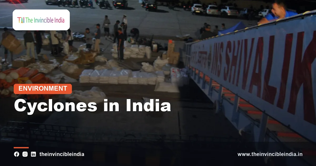
Few natural hazards are as familiar to India’s coastal people as cyclones. Cyclones in India form over the warm waters of the Bay of Bengal and the Arabian Sea, and every year they bring destructive winds, torrential rain and, most dangerously, storm surges that can flood low-lying coasts. For centuries, they have shaped the lives of fishing communities and farmers along a coastline of more than seven thousand kilometres.
Yet the story of cyclones in India is also a story of remarkable progress. A country that once recorded very high death tolls after major storms now evacuates large numbers of people before landfall and, in several recent events, has kept deaths low. This explainer covers why these storms occur, how they intensify, how they are classified, named and forecast, and how preparedness has transformed outcomes.
Quick Facts
| Item | Detail |
|---|---|
| Ocean basin | North Indian Ocean, comprising the Bay of Bengal and the Arabian Sea |
| Cyclone seasons | Pre-monsoon (April to June) and post-monsoon (October to December) |
| More active sea | The Bay of Bengal, which produces several times as many cyclones as the Arabian Sea |
| Forecasting agency | India Meteorological Department (IMD) |
| Official regional centre | IMD, New Delhi, is a Regional Specialised Meteorological Centre of the World Meteorological Organization |
| Naming system | Rotating list of names proposed by member countries of the WMO/ESCAP Panel on Tropical Cyclones, in use since 2004 |
| Strongest category | Super Cyclonic Storm, with sustained winds of 120 knots (about 222 km/h) or more |
| Landmark storm | Odisha super cyclone, 29 October 1999 |
| Warning colours | Green, yellow, orange and red |
Why India Is Prone to Tropical Cyclones
India’s long peninsular coastline projects into the north Indian Ocean, which is bordered by land to the north and so forms a semi-enclosed basin. The seas receive intense solar heating for much of the year, and the monsoon system draws large volumes of moisture into the atmosphere. These conditions make the region one of the more active cyclone areas of the world, although it accounts for a modest share of global tropical cyclone numbers.
The coastline at risk
The east coast, facing the Bay of Bengal, includes the states of West Bengal, Odisha, Andhra Pradesh and Tamil Nadu, along with the union territory of Puducherry. On the west coast, facing the Arabian Sea, Gujarat, Maharashtra, Goa, Karnataka and Kerala are exposed, with Gujarat being the most frequently threatened in recent decades. The Andaman and Nicobar Islands and Lakshadweep also lie in cyclone paths.
Why the east coast suffers more
The Bay of Bengal is warmer, receives enormous freshwater inflow from rivers such as the Ganga, Brahmaputra and Mahanadi, and has more favourable atmospheric conditions for disturbances to develop. Its funnel-shaped northern head, together with shallow continental shelf waters, makes storm surges especially destructive in the delta regions.
How a Tropical Cyclone Forms
A tropical cyclone is a rotating system of low pressure that draws its energy from warm ocean water. Meteorologists identify several conditions that must come together before one can form.
Necessary conditions
- Warm sea surface: sea surface temperatures of at least about 26.5 degrees Celsius, extending to a sufficient depth.
- Moist, unstable atmosphere: humid air in the lower and middle troposphere which can support deep thunderstorm clouds.
- Coriolis force: the effect of Earth’s rotation that makes air spiral inwards; it is too weak very close to the equator, so cyclones form typically at least five degrees of latitude away from it.
- Low vertical wind shear: little change in wind speed or direction with height, so that the storm’s structure is not torn apart.
- A pre-existing disturbance: such as a low-pressure area, a monsoon trough or an easterly wave, that offers an initial focus.
The process
Warm, moist air rises over the disturbance, condenses and releases latent heat. This warms the air column, lowers surface pressure and pulls more moist air inwards. The inflowing air begins to rotate anticlockwise in the northern hemisphere. If the feedback continues, the system organises into a closed circulation with a calm centre called the eye surrounded by the eyewall, where the strongest winds and heaviest rain occur.
The Cyclone Seasons
India experiences two cyclone seasons. The first, from April to June, comes before the onset of the southwest monsoon. The second, from October to December, follows the withdrawal of the monsoon. May and November are the months of peak activity. During the monsoon months of July to September, strong vertical wind shear and the monsoon circulation tend to inhibit the development of intense cyclones, and the typical disturbances are monsoon depressions, which are lower-intensity systems that bring heavy rain.
Characteristic tracks
Post-monsoon storms in the Bay of Bengal often form near the Andaman Sea or the south Bay and move west or northwest towards Tamil Nadu, Andhra Pradesh or Odisha. Pre-monsoon storms frequently recurve northwards or north-eastwards, affecting Odisha, West Bengal or Bangladesh and Myanmar. Arabian Sea storms commonly form in the east-central or south-east Arabian Sea and either move northwards towards Gujarat and Pakistan, or westwards towards Oman and Yemen.
A changing pattern
Scientists have noted that the Arabian Sea has seen more intense cyclones in recent years, linked in part to warming of its surface waters. Climate change is also associated with rapid intensification of storms, a trend that makes forecasting and preparation all the more important.
Classification of Cyclonic Disturbances
The India Meteorological Department classifies systems in the north Indian Ocean according to the maximum sustained wind speed near the centre, measured in knots. One knot is approximately 1.85 kilometres per hour.
| Category | Maximum sustained wind (knots) |
|---|---|
| Low pressure area | Less than 17 |
| Depression | 17 to 27 |
| Deep depression | 28 to 33 |
| Cyclonic storm | 34 to 47 |
| Severe cyclonic storm | 48 to 63 |
| Very severe cyclonic storm | 64 to 89 |
| Extremely severe cyclonic storm | 90 to 119 |
| Super cyclonic storm | 120 and above |
A system receives a name only when it reaches the cyclonic storm stage. The classification is widely used in disaster planning, because the category determines the level of preparedness required from state governments and local authorities.
The Naming System
Naming helps to identify storms clearly and reduces confusion when more than one system is active. In the north Indian Ocean, the system was agreed by the member countries of the World Meteorological Organization and the UN Economic and Social Commission for Asia and the Pacific Panel on Tropical Cyclones. Naming began in 2004, and the first storm to receive a name under the scheme was Onil.
How the list works
Originally eight countries contributed names: Bangladesh, India, Maldives, Myanmar, Oman, Pakistan, Sri Lanka and Thailand. In 2018 the panel expanded to include Iran, Qatar, Saudi Arabia, the United Arab Emirates and Yemen, taking the total to thirteen. A new list was prepared with each country proposing names, which are used in sequence, and a name once used is not repeated. The IMD, as the Regional Specialised Meteorological Centre in New Delhi, assigns the name when a system reaches the required intensity.
Guidelines for names
Names should be short, easy to pronounce, culturally neutral and not offensive to any group. This is why storms in the region bear names from different languages, such as Phailin from Thailand, Amphan from Thailand and Tauktae from Myanmar.
Storm Surge: The Deadliest Element
Historically, most deaths in cyclones have been caused not by wind but by storm surge, a rise in sea level above the normal tide, produced by the storm’s winds pushing water ashore and by the drop in atmospheric pressure. When a surge coincides with high tide and strikes a flat, densely populated coast, seawater can sweep many kilometres inland.
Factors that raise the surge
- The intensity and size of the cyclone.
- The speed and angle at which it crosses the coast.
- The shape of the coastline and the slope of the seabed, with shallow gradual shelves producing higher surges.
- Whether landfall coincides with the astronomical high tide.
The low-lying deltas of the Ganga-Brahmaputra and the Mahanadi, Godavari and Krishna are particularly vulnerable. The Bhola cyclone of 1970, which struck what was then East Pakistan, remains one of the deadliest cyclones in recorded history, because of a massive surge in the delta region. Heavy rain and inland flooding add further risk, particularly in hilly and river-bound areas, as does saltwater intrusion into farmland, which can harm crops for years.
Major Cyclones in India’s History
Records over many generations show how cyclones have repeatedly struck the coasts. Some events are remembered for their devastation, others for the quality of the response.
| Year | Cyclone and region | Why it is remembered |
|---|---|---|
| 1977 | Andhra Pradesh (Divi Seema) | Severe surge struck the Krishna delta coast |
| 1999 | Odisha super cyclone | Struck near Paradip on 29 October; around ten thousand lives were lost |
| 2013 | Phailin, Odisha | Very severe storm; evacuation of a very large number of people kept casualties low |
| 2014 | Hudhud, Andhra Pradesh and Odisha | Heavily damaged Visakhapatnam and its green cover |
| 2019 | Fani, Odisha | Landfall near Puri on 3 May; extensive evacuation before landfall |
| 2020 | Amphan, West Bengal and Odisha | Super cyclonic storm over the Bay; hit the Sundarbans region |
| 2021 | Tauktae, Arabian Sea | Travelled along the west coast and reached Gujarat |
| 2023 | Biparjoy, Gujarat | Long-lived Arabian Sea storm that affected Kutch and Saurashtra |
The IMD and Cyclone Forecasting
The India Meteorological Department, under the Ministry of Earth Sciences, has been issuing cyclone warnings for well over a century, and is internationally recognised as a Regional Specialised Meteorological Centre for tropical cyclones in the north Indian Ocean. It advises not only India but also neighbours such as Bangladesh, Myanmar, Sri Lanka, Pakistan, Oman and others in the region.
Tools and infrastructure
- Geostationary satellites such as the INSAT series, and polar-orbiting satellites, to track cloud systems.
- A network of Doppler weather radars along the coasts for tracking approaching storms.
- Ocean buoys, ships, automatic weather stations and coastal observatories.
- Numerical weather prediction models, including ensemble forecasts, to estimate track and intensity.
- Cyclone Warning Centres at several coastal locations, including Chennai, Kolkata, Visakhapatnam, Bhubaneswar, Mumbai and Ahmedabad.
Forecasts have improved significantly in recent decades, with track errors reduced considerably. Intensity forecasting, particularly of rapid intensification, remains harder but is improving.
Colour-Coded Warnings and the Stages of Alert
The IMD issues warnings using a four-colour system designed to be understood quickly by officials and the public. The message is paired with expected impacts, and not only with weather data, so that people know what to do.
| Colour | Meaning | Action expected |
|---|---|---|
| Green | No warning | No action needed |
| Yellow | Be aware | Stay updated on the situation |
| Orange | Be prepared | Get ready for possible disruption and follow advisories |
| Red | Take action | Act on instructions, evacuate where advised |
Stages of cyclone bulletins
The IMD has traditionally issued a pre-cyclone watch roughly three days ahead, a cyclone alert around two days before landfall, a cyclone warning about a day in advance, and a post-landfall outlook. Bulletins give the expected track, the area and time of landfall, wind speed, storm surge height and the expected damage, in a format that state administrations can use for evacuation orders. Fishermen are advised not to venture into the sea, and ports hoist cautionary signals.
From High Death Tolls to Low: The Preparedness Revolution
The Odisha super cyclone of October 1999 was a turning point. The state lost around ten thousand lives, and the shock led to the creation of the Odisha State Disaster Management Authority, the first of its kind in India, even before the national Disaster Management Act of 2005. Over the following years, Odisha invested in a system that has become a model for others.
What changed
- Better warnings: accurate forecasts, issued early and translated into local languages and communicated through multiple channels, including text messages, radio and television.
- Cyclone shelters: thousands of multi-purpose shelters built on higher ground in vulnerable coastal districts, under programmes such as the National Cyclone Risk Mitigation Project.
- Large-scale evacuation: pre-emptive moving of people, often over a million at a time during major events, together with livestock where possible.
- Trained responders: teams of the National Disaster Response Force and state forces pre-positioned before landfall.
- Community volunteers: trained village-level groups that spread warnings and assist with evacuation.
- Coastal protection: embankments, shelter belts of casuarina and mangroves, and stricter building practices.
As a result, recent severe storms such as Phailin in 2013 and Fani in 2019 caused far fewer deaths than earlier events of similar strength. The United Nations has recognised the approach as an example of good practice.
Challenges and the Road Ahead
Despite this progress, vulnerability remains. Property damage, loss of livelihoods and destruction of crops, fishing boats and power lines can be huge even when lives are saved. Rapid coastal urbanisation, encroachment on mangroves and wetlands, and poorly built homes increase the exposure of people and assets.
Priorities
- Improving the forecasting of rapid intensification and of storm surge for individual stretches of coast.
- Extending the lessons of the east coast to the west coast, where cyclone experience is more recent.
- Making power, telecommunication and water systems more resilient.
- Protecting and restoring natural buffers such as mangroves and coastal forests.
- Strengthening post-disaster recovery for poor and marginal households.
Conclusion
Cyclones will remain a recurring feature of India’s coastal life, but they need not remain a recurring tragedy. Science has improved the ability to see storms coming, institutions have learned to act on warnings, and communities have learned what to do in the critical hours before landfall. The challenge for the coming decades is to preserve this record in a warming climate, and to extend the same level of protection to every coastal community.
Frequently Asked Questions
Why are there more cyclones in the Bay of Bengal than in the Arabian Sea?
The Bay of Bengal is warmer, receives large amounts of fresh water from rivers, and has atmospheric conditions that support the development of disturbances. As a result, it produces several times as many cyclones as the Arabian Sea, although Arabian Sea storms have been intensifying in recent years.
When is the cyclone season in India?
There are two seasons: the pre-monsoon period from April to June, and the post-monsoon period from October to December. Peak activity is in May and November. The monsoon months of July to September usually see fewer intense cyclones.
How are cyclones named in India?
Cyclones in the north Indian Ocean are named from a rotating list of names proposed by thirteen member countries of the WMO/ESCAP Panel on Tropical Cyclones. The IMD assigns the next name on the list when a system reaches the cyclonic storm stage. The naming system began in 2004.
What do the IMD’s colour warnings mean?
Green means no warning, yellow means be aware, orange means be prepared, and red means take action. The colours are linked to expected impacts so that authorities and the public know how seriously to respond.
What is a storm surge and why is it dangerous?
A storm surge is an abnormal rise of sea water pushed ashore by a cyclone’s winds and low pressure. It can flood low-lying coasts many kilometres inland, and has historically caused most cyclone deaths, especially when it coincides with high tide.
How has India reduced deaths from cyclones?
Through accurate early warnings, mass evacuations, cyclone shelters, trained rescue forces and community volunteers. After the Odisha super cyclone of 1999, the state built a preparedness system that helped keep casualties low in later storms such as Phailin in 2013 and Fani in 2019.


