

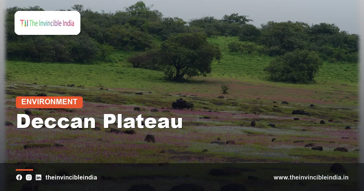
The Deccan Plateau is the large, roughly triangular tableland that makes up most of peninsular India, a gently tilted upland of ancient rock that lies south of the Satpura and Vindhya ranges and is framed by the Western Ghats on one side and the Eastern Ghats on the other. It is among the oldest and most stable landscapes on the subcontinent.
The Deccan Plateau slopes from west to east, which is why its major rivers flow towards the Bay of Bengal. Its northern portion is capped by lava from the Deccan Traps, while the south rests on some of India’s oldest crystalline rocks. This explainer describes where the Deccan Plateau lies, how it formed, what it is made of, and why it matters for water, farming, minerals and cities.
| Attribute | Detail |
|---|---|
| Landform type | Tilted tableland within the Peninsular Plateau |
| Shape | Broadly triangular, with the apex towards the south |
| Name origin | From the Sanskrit “dakshina”, meaning south |
| Western boundary | Western Ghats (Sahyadri) |
| Eastern boundary | Eastern Ghats |
| Northern boundary | Satpura, Mahadeo and Maikal ranges, with the Narmada valley beyond |
| Typical elevation | Around 500 to 900 metres, rising southwards and westwards |
| Principal rivers | Godavari, Krishna, Kaveri, Tungabhadra, Bhima, Penna |
| Major states | Maharashtra, Karnataka, Telangana, Andhra Pradesh, parts of Tamil Nadu and Madhya Pradesh |
Key Takeaways
- The Deccan Plateau is the triangular tableland of peninsular India, bounded by the Western Ghats, the Eastern Ghats and the Satpura range.
- The Deccan Plateau tilts gently from west to east, so the Godavari, Krishna and Kaveri flow eastwards to the Bay of Bengal.
- The northern Deccan Plateau is covered by basalt of the Deccan Traps, while the southern plateau rests on the very old crystalline rocks of the Dharwar Craton.
- The Deccan Plateau lies in the rain shadow of the Western Ghats, which leaves its interior drier than the coast.
- The Deccan Plateau holds iron ore, manganese, gold, coal and limestone, and hosts major cities such as Hyderabad, Bengaluru and Pune.
- The Deccan Plateau is a landform, while the Deccan Traps are the lava rock that covers part of it, so the two terms are not interchangeable.
What is the Deccan Plateau?
The Deccan Plateau is the elevated interior of peninsular India, a vast area of rolling upland, flat-topped hills and broad river valleys that sits well above the coastal plains on either side. Geographers treat it as the largest division of the older Peninsular Plateau, which also includes the Malwa, Bundelkhand, Baghelkhand and Chota Nagpur uplands further north.
The word “Deccan” derives from the Sanskrit “dakshina”, meaning south, and has been used for the southern interior for more than two thousand years. The region has an ancient human history, as the rock shelters, megalithic burials and Neolithic ash mounds of the Telangana, Karnataka and Maharashtra uplands show.
The landscape is not a single level plain. It consists of steps and basins at different heights, dotted with granite hills, inselbergs and rocky knolls that have survived long periods of weathering.
Where is the Deccan Plateau located and what are its boundaries?
The Deccan Plateau lies in southern and central India, bounded by the Western Ghats along the Arabian Sea coast, by the Eastern Ghats near the Bay of Bengal, and by the Satpura, Mahadeo and Maikal ranges in the north. Its southern apex narrows towards the Nilgiri Hills, where the Western and Eastern Ghats meet.
The boundaries give the plateau its triangular shape:
- West: the Western Ghats, or Sahyadri, a continuous high wall that rises sharply above the narrow Konkan and Malabar coastal plains.
- East: the Eastern Ghats, a lower, broken chain of hills that is cut through by the great east-flowing rivers.
- North: the Satpura, Mahadeo and Maikal ranges, beyond which the Narmada and Tapi flow westwards through rift valleys.
- South: the Nilgiri Hills and the Palghat Gap, beyond which lie the Anamalai and Cardamom ranges and the lowlands of Kerala and Tamil Nadu.
Hyderabad, Bengaluru, Pune, Nagpur and Mysuru all lie on the plateau, which holds a large share of India’s southern population and economic activity.
How did the Deccan Plateau form?
The Deccan Plateau formed over billions of years from an ancient continental block that was once part of the Gondwana supercontinent, and its present form comes from rifting on the west, long erosion and a vast outpouring of lava. Its basement is a stable craton, a core of old crystalline rock that has resisted deformation for a very long time.
The story can be told in four stages:
- Ancient core: the Dharwar Craton, a mass of Archaean granites, gneisses and greenstone belts, formed billions of years ago and underlies much of the southern plateau.
- Gondwana period: peninsular India was joined to Africa, Antarctica, Australia and Madagascar, and river basins in rift valleys collected the sediments that later became Gondwana coal.
- Break-up: as India separated from Madagascar and the Seychelles, the western edge was lifted up, creating the Western Ghats escarpment and tilting the plateau eastwards.
- Volcanic cap: about 66 million years ago, the Deccan Traps lava poured over the northern and western plateau and buried older landscapes under basalt.
Afterwards, erosion cut into the plateau and left the present combination of lava mesas in the north and weathered granite country in the south.
Why does the Deccan Plateau tilt towards the east?
The Deccan Plateau tilts towards the east because its western edge stands highest, uplifted when the western margin of India rifted away from neighbouring continents, while the land falls gradually towards the Bay of Bengal. This slope controls the direction of rivers and the pattern of rainfall.
The Western Ghats often exceed a thousand metres, with Anamudi in the Anamalai Hills, at roughly 2,700 metres, the highest peak of peninsular India. The plateau surface drops to around 300 to 500 metres towards the eastern side, where the Eastern Ghats form a lower and discontinuous rim.
This tilt explains an unusual feature of Indian geography. The Western Ghats lie very close to the Arabian Sea, yet the rivers that begin in them, such as the Godavari, Krishna and Kaveri, travel hundreds of kilometres east across the whole peninsula before reaching the Bay of Bengal.
What are the main divisions of the Deccan Plateau?
The Deccan Plateau is commonly divided into the Maharashtra Plateau, the Karnataka Plateau (also called the Mysore Plateau) and the Telangana Plateau, with Rayalaseema as a drier extension. Each has its own rock, relief and rainfall.
| Division | Main rock | Typical features |
|---|---|---|
| Maharashtra Plateau | Deccan Traps basalt | Flat-topped hills, black soil, Godavari and Bhima basins |
| Karnataka (Mysore) Plateau | Granite, gneiss, greenstone belts | Higher ground, hill ranges such as Bababudan, coffee hills, Kaveri basin |
| Telangana Plateau | Granite and gneiss, with Gondwana coal basins | Rocky uplands, tanks and lakes, Godavari and Krishna basins |
| Rayalaseema | Older sediments and granite | Low rainfall, scrub, hills and basins, Penna and Tungabhadra |
The Maharashtra Plateau is the lava country, and the other divisions are underlain mainly by older rock. This division line follows the southern edge of the Deccan Traps.
Which rivers flow across the Deccan Plateau?
The main rivers of the Deccan Plateau are the Godavari, the Krishna, the Kaveri and their tributaries, and most of them flow eastwards to the Bay of Bengal. Together they drain the peninsula and have built broad deltas on the eastern coast.
- Godavari: the longest river of peninsular India, sometimes called the Dakshina Ganga, rising near Nashik in the Western Ghats.
- Krishna: rises near Mahabaleshwar and flows through Maharashtra, Karnataka, Telangana and Andhra Pradesh, with tributaries such as the Bhima and Tungabhadra.
- Kaveri: rises in the Western Ghats in Karnataka, crosses the southern plateau and forms a delta in Tamil Nadu.
- Penna, Mahanadi and others: smaller east-flowing rivers that also drain the plateau or its margins.
Two big rivers behave differently. The Narmada and Tapi flow westwards through narrow rift valleys on the northern edge of the plateau and reach the Arabian Sea in estuaries instead of deltas.
Unlike the Himalayan rivers, Deccan rivers are fed almost entirely by monsoon rain, so they swell in the monsoon months and shrink to thin trickles in summer. Dams and reservoirs, such as Nagarjuna Sagar, Srisailam and Krishna Raja Sagara, regulate them, and thousands of small village tanks capture rain for irrigation.
What is the climate of the Deccan Plateau?
The Deccan Plateau has a tropical, semi-arid to sub-humid climate, with a hot summer, a monsoon season from June to September and a mild winter, and it receives much less rain than the Western Ghats. The plateau lies in the rain shadow of the Ghats, which means that moist southwesterly winds drop most of their water on the windward slopes before crossing.
The windward Ghats can receive several thousand millimetres of rain a year, while the interior of Maharashtra, Karnataka and Andhra Pradesh often gets only about 500 to 750 millimetres. The dry belt around Solapur, Anantapur and parts of Marathwada is prone to drought.
The altitude moderates temperatures. Bengaluru and Pune, at around 600 to 900 metres, have milder summers than the plains, while the interior of Telangana and Vidarbha can see very hot days in May. The northeast monsoon adds some rain to the southern and eastern plateau in October and November.
What soils and crops belong to the Deccan Plateau?
The Deccan Plateau has three dominant soils: black cotton soil on the lava, red soil on the old granites and gneisses, and laterite along the high-rainfall margins. Each supports a different farming pattern.
- Black soil (regur): found on the Deccan Traps in Maharashtra and neighbouring areas, rich in clay, moisture-holding and ideal for cotton, soybean, sorghum and pigeon pea.
- Red soil: found in Karnataka, Telangana and Andhra Pradesh, lighter and less fertile, used for millets, groundnut, pulses and with irrigation for rice.
- Laterite: found on the Western Ghats crest and in some high-rainfall areas, suited to plantation crops such as coffee, tea, cashew and spices.
Sugarcane is a major irrigated crop in western Maharashtra and southern Karnataka. Coffee grows in the hills of Karnataka, and cotton is a mainstay of the lava country, making the Deccan the centre of India’s rain-fed cotton belt.
What minerals are found on the Deccan Plateau?
The Deccan Plateau holds large deposits of iron ore, manganese, bauxite, gold, coal and limestone, concentrated in the old crystalline belts and the Gondwana basins. The ancient Dharwar Craton in Karnataka is the richest source of metallic minerals.
- Iron ore and manganese: the Bellary-Hospet region and the Chitradurga-Sandur belts of Karnataka, and manganese deposits around Nagpur and Bhandara in Maharashtra.
- Gold: the Kolar Gold Fields, now closed, and Hutti in Karnataka, with deposits also known in Andhra Pradesh.
- Coal: the Singareni coalfields along the Godavari valley in Telangana and the Wardha valley in Maharashtra, from Gondwana sediments.
- Others: limestone for cement, granite for building and export, and historically the diamonds of the Golconda region.
Some of the earliest known iron-working and gold mining in India took place on the plateau, and the minerals continue to feed steel, cement and power industries across the south.
What is the difference between the Deccan Plateau and the Deccan Traps?
The Deccan Plateau is a landform, the elevated tableland of peninsular India, while the Deccan Traps are a rock formation made of lava flows that erupted about 66 million years ago and now cover its northern part. One describes the shape of the land, and the other describes what a large part of it is built from.
Several points set them apart:
- The Deccan Plateau covers the whole southern interior, but the Deccan Traps cover only the north and west, mostly in Maharashtra, Gujarat and Madhya Pradesh.
- The Deccan Plateau has existed in some form since the Precambrian, whereas the Deccan Traps are geologically young by comparison.
- Large parts of the Deccan Plateau, notably the Karnataka and Telangana uplands, contain no traps at all and rest on granite and gneiss.
Why does the Deccan Plateau matter for India?
The Deccan Plateau matters because it supplies water, farmland, minerals and building sites for a large share of India’s population, and it houses some of the country’s fastest-growing cities. Its stable crust also makes it one of the least earthquake-prone parts of India, though the region is not entirely free of tremors.
Several pressures define the plateau today. Rain-fed agriculture on thin soils is vulnerable to erratic monsoons. Groundwater is heavily pumped in the drier districts, and the hard-rock aquifers recharge slowly. River-sharing disputes among states over the Krishna, Godavari and Kaveri have a long history.
The plateau also offers opportunities. Its open, sunny uplands host many of India’s largest solar and wind installations, and its cities form the core of the country’s technology and pharmaceutical sectors.
Bottom Line
The Deccan Plateau is the tilted, triangular tableland of peninsular India, built on ancient crystalline rock in the south and capped by Deccan Traps lava in the north. Its eastward slope, its rain-shadow climate and its mineral wealth shape life across a large part of India.
Frequently Asked Questions
What is the Deccan Plateau?
The Deccan Plateau is the large triangular tableland that forms most of peninsular India. It lies between the Western Ghats and the Eastern Ghats and south of the Satpura range. The land slopes gently from west to east.
Which states does the Deccan Plateau cover?
The Deccan Plateau covers most of Maharashtra, Karnataka, Telangana and Andhra Pradesh, along with parts of Madhya Pradesh, Chhattisgarh, Odisha and Tamil Nadu. Different sources draw its northern and southern limits slightly differently. The core region lies in Maharashtra, Karnataka and Telangana.
Why do Deccan rivers flow east?
Deccan rivers flow east because the plateau tilts from a high western edge down towards the Bay of Bengal. The Western Ghats were uplifted when the western margin of India rifted, so rainfall collected there runs east. The Godavari, Krishna and Kaveri all follow this slope.
Is the Deccan Plateau the same as the Deccan Traps?
No, the Deccan Plateau and the Deccan Traps are different things. The plateau is a landform, while the traps are lava rock that erupted about 66 million years ago and covers its northern part. Much of the southern plateau has no lava at all.
What minerals does the Deccan Plateau have?
The Deccan Plateau has iron ore, manganese, gold, coal, bauxite and limestone. Karnataka’s Dharwar Craton is rich in iron ore and gold, while the Godavari valley holds major coal. Granite and building stone are quarried across the plateau.
Why is the interior of the Deccan Plateau dry?
The interior is dry because it lies in the rain shadow of the Western Ghats. Moist southwest monsoon winds shed most of their rain on the windward slopes, and the descending air over the plateau holds little moisture. Parts of Maharashtra, Karnataka and Andhra Pradesh therefore receive only about 500 to 750 millimetres a year.
{“@context”:”https://schema.org”,”@graph”:[{“@type”:”FAQPage”,”mainEntity”:[{“@type”:”Question”,”name”:”What is the Deccan Plateau?”,”acceptedAnswer”:{“@type”:”Answer”,”text”:”The Deccan Plateau is the large triangular tableland that forms most of peninsular India. It lies between the Western Ghats and the Eastern Ghats and south of the Satpura range. The land slopes gently from west to east.”}},{“@type”:”Question”,”name”:”Which states does the Deccan Plateau cover?”,”acceptedAnswer”:{“@type”:”Answer”,”text”:”The Deccan Plateau covers most of Maharashtra, Karnataka, Telangana and Andhra Pradesh, along with parts of Madhya Pradesh, Chhattisgarh, Odisha and Tamil Nadu. Different sources draw its northern and southern limits slightly differently. The core region lies in Maharashtra, Karnataka and Telangana.”}},{“@type”:”Question”,”name”:”Why do Deccan rivers flow east?”,”acceptedAnswer”:{“@type”:”Answer”,”text”:”Deccan rivers flow east because the plateau tilts from a high western edge down towards the Bay of Bengal. The Western Ghats were uplifted when the western margin of India rifted, so rainfall collected there runs east. The Godavari, Krishna and Kaveri all follow this slope.”}},{“@type”:”Question”,”name”:”Is the Deccan Plateau the same as the Deccan Traps?”,”acceptedAnswer”:{“@type”:”Answer”,”text”:”No, the Deccan Plateau and the Deccan Traps are different things. The plateau is a landform, while the traps are lava rock that erupted about 66 million years ago and covers its northern part. Much of the southern plateau has no lava at all.”}},{“@type”:”Question”,”name”:”What minerals does the Deccan Plateau have?”,”acceptedAnswer”:{“@type”:”Answer”,”text”:”The Deccan Plateau has iron ore, manganese, gold, coal, bauxite and limestone. Karnataka’s Dharwar Craton is rich in iron ore and gold, while the Godavari valley holds major coal. Granite and building stone are quarried across the plateau.”}},{“@type”:”Question”,”name”:”Why is the interior of the Deccan Plateau dry?”,”acceptedAnswer”:{“@type”:”Answer”,”text”:”The interior is dry because it lies in the rain shadow of the Western Ghats. Moist southwest monsoon winds shed most of their rain on the windward slopes, and the descending air over the plateau holds little moisture. Parts of Maharashtra, Karnataka and Andhra Pradesh therefore receive only about 500 to 750 millimetres a year.”}}]}]}


