

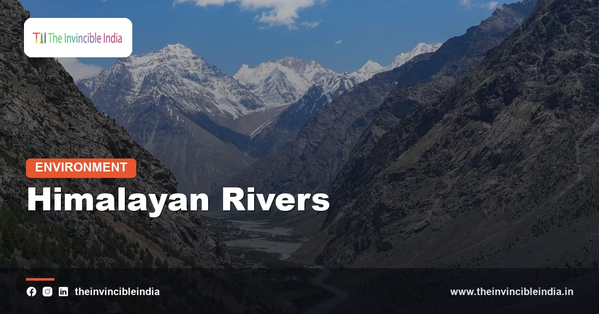
The Himalayan rivers of India are the great snow- and glacier-fed rivers, chiefly the Indus, Ganga and Brahmaputra systems, that rise in or beyond the Himalaya, flow all year round and carve deep gorges before spreading across the plains. They are young rivers, still cutting their valleys, and they carry so much silt that they have built the most fertile land in the country.
Because they draw water from both melting ice and the monsoon, they rarely run dry, yet they can also flood on a scale that few other rivers match. Understanding how they form, how they differ from the peninsular rivers and why they behave as they do explains much about north India’s agriculture, cities, hazards and politics.
| Attribute | Detail |
|---|---|
| Main systems | The Indus, Ganga and Brahmaputra river systems |
| Source of water | Snow and glacier melt in spring and summer, plus monsoon rain |
| Flow | Perennial; high in summer and monsoon, lower in winter |
| Age | Young; still deepening their valleys in the mountains |
| Mountain course | Steep V-shaped valleys, gorges, rapids and waterfalls |
| Plains course | Wide floodplains with meanders, braided channels and oxbow lakes |
| Sediment load | Very heavy; among the highest in the world for the Ganga-Brahmaputra |
| Typical outlet | Large deltas (Ganga-Brahmaputra) and the Indus delta in Pakistan |
Key Takeaways
- Himalayan rivers are young, snow- and glacier-fed rivers that flow throughout the year and are grouped into the Indus, Ganga and Brahmaputra systems.
- Several of them, including the Indus, Sutlej and Brahmaputra, are antecedent rivers that kept their courses and cut deep gorges as the Himalaya rose around them.
- On the plains they slow down, meander widely, braid into many channels and shift their beds, leaving behind fertile alluvium and features such as oxbow lakes.
- Their heavy sediment load builds the Indo-Gangetic Plain and the vast Ganga-Brahmaputra delta, but it also raises riverbeds and worsens flooding.
- Floods, glacial lake outbursts, landslides and shifting channels are the main hazards, while irrigation, hydropower and navigation are the main benefits.
- Climate change is shrinking some Himalayan glaciers, which may reduce dry-season flow in the long run after a phase of higher melt.
What are the Himalayan rivers of India?
The Himalayan rivers are the large rivers that originate in the Himalayan mountains or on the Tibetan plateau beyond them and flow down to the plains of northern India. They are grouped into three main systems: the Indus, the Ganga and the Brahmaputra.
The Indus system includes the Indus itself and its tributaries the Jhelum, Chenab, Ravi, Beas and Sutlej, which together drain Ladakh, Jammu and Kashmir, Himachal Pradesh and Punjab before they flow into Pakistan. The Ganga system includes the Ganga, Yamuna, Ghaghara, Gandak and Kosi, which water the north Indian plain. The Brahmaputra system includes the Brahmaputra and tributaries such as the Subansiri, Lohit, Dibang, Manas and Teesta, which flow through Assam and the north-east.
These rivers have a combined drainage area covering a large portion of the subcontinent. They carry more water than the peninsular rivers and provide most of the surface water used on the northern plains.
Why are Himalayan rivers perennial?
Himalayan rivers are perennial because they receive water from two sources: snow and glacier melt in the high mountains, and the monsoon rains in the summer. Melting ice keeps them flowing through the dry spring and early summer, before the rains arrive.
The Himalaya hold one of the largest stores of snow and ice outside the polar regions, often called the Third Pole. The Ganga begins at the Gangotri glacier, at a place called Gaumukh, and the Yamuna from the Yamunotri glacier. In spring and early summer, rising temperatures release meltwater, which swells the rivers well before the monsoon arrives. When the rains come, the discharge rises again to a seasonal peak.
The result is a river with a high-water season from about May to September and a lean season in winter, but not a dry bed. This steady supply is why the northern plains developed canal systems, towns and dense farming long before the peninsula did.
Why are the Himalayan rivers called young?
Himalayan rivers are called young because they are still actively eroding and deepening their valleys in the mountains, a sign that the landscape they flow through is still rising. The Himalaya are geologically recent, having begun to rise when the Indian plate collided with Asia about fifty million years ago.
In their upper courses, the rivers drop steeply and cut narrow V-shaped valleys and gorges, performing vertical erosion at a rapid rate. They carry boulders, gravel and sand down from the slopes, and their rapids and waterfalls show that they have not yet smoothed out their beds. The Alaknanda, Bhagirathi, Beas and Sutlej are examples of such fast mountain rivers.
By contrast, peninsular rivers flow over old, stable rock and have already reached a graded profile. Himalayan rivers are still adjusting to uplift, earthquakes and landslides, which is why their courses are far less settled.
What are antecedent rivers, and which Himalayan rivers are they?
Antecedent rivers are rivers that existed before a mountain range rose and kept cutting their valleys downward as the land was uplifted, so they still flow across the range. Several major Himalayan rivers, including the Indus, Sutlej and Brahmaputra, fit this description.
These rivers began flowing across the region before the Himalaya reached their present height. As the mountains were pushed up, the rivers incised their beds at the same rate, preserving their paths and cutting deep gorges through the rising barrier. The Indus gorge in Ladakh and Gilgit, the Sutlej gorge near Shipki La and the great gorge of the Brahmaputra, the Yarlung Tsangpo, are among the deepest on Earth.
The Brahmaputra is the most dramatic case. After flowing eastward along the northern side of the Himalaya in Tibet, it swings around the peak of Namcha Barwa in a sharp bend and plunges south through the range into Arunachal Pradesh, where it is known as the Siang or Dihang. This path across the mountains is a typical sign of an antecedent river.
How does the Ganga system form and flow?
The Ganga system forms when headwater streams such as the Bhagirathi and Alaknanda join at Devprayag in Uttarakhand to create the Ganga, which then flows from the mountains across the northern plain to the Bay of Bengal. It is the longest river within India and the most important culturally.
The Bhagirathi rises at the Gangotri glacier and the Alaknanda from near the Satopanth and Bhagirath Kharak glaciers. Their confluence at Devprayag marks the start of the main Ganga. The river leaves the hills at Haridwar and crosses the plains through Uttar Pradesh, Bihar and West Bengal, collecting tributaries along the way.
- Yamuna: flows parallel to the Ganga from the Yamunotri glacier and joins it at Prayagraj.
- Ghaghara, Gandak and Kosi: large rivers that cross Nepal from the high Himalaya and bring heavy loads of water and silt.
- Peninsular tributaries: the Chambal, Betwa and Son bring rain-fed flow from the south.
In West Bengal the main stream splits. One channel, the Bhagirathi-Hooghly, flows south through Kolkata, and the other, the Padma, flows into Bangladesh where it meets the Brahmaputra and the Meghna before entering the Bay of Bengal.
What is special about the Indus and the Brahmaputra?
The Indus and Brahmaputra are special because both rise in Tibet, flow for long distances beyond India and enter the country through great gorges, making them trans-Himalayan rivers shared with neighbouring countries. Both are shaped by Himalayan uplift.
The Indus rises near Lake Mansarovar and Mount Kailash, flows north-west through Ladakh and then enters Pakistan, where it runs the length of the country to the Arabian Sea. Only a fraction of its course lies in India. Its waters are shared under the Indus Waters Treaty of 1960, which gave India the use of the three eastern rivers, the Ravi, Beas and Sutlej, and Pakistan the three western ones, the Indus, Jhelum and Chenab, with limited Indian use allowed.
The Brahmaputra, known in Tibet as the Yarlung Tsangpo, runs east for more than a thousand kilometres before turning into India. In Assam it becomes a huge, braided river, in places several kilometres wide, and encloses Majuli, one of the largest river islands in the world. It then flows into Bangladesh as the Jamuna and meets the Ganga. Because it carries a great deal of water and silt, it is one of the most flood-prone rivers in the country.
How do Himalayan rivers behave on the plains?
Himalayan rivers behave on the plains by slowing down, dropping their sediment, meandering widely and, in many reaches, splitting into braided channels that shift from year to year. The gentle slope of the plain allows them to wander.
When a mountain river reaches flat country its speed falls sharply, and it can no longer carry its load of boulders, gravel and sand. Coarse material is dropped at the foot of the hills, forming the bhabar belt, while finer silt is spread further downstream. Over time the river builds up its own bed and banks, and it swings from side to side across a broad floodplain.
Meandering rivers erode the outer bank of each bend and deposit sand on the inner bank. In time a loop can be cut off to leave a crescent-shaped oxbow lake, and many such lakes dot the Ganga and Brahmaputra plains. The Kosi is notorious for shifting its course across a wide area of north Bihar over the last two centuries, which is why it has long been called the Sorrow of Bihar.
How have Himalayan rivers built the plains and deltas?
Himalayan rivers have built the plains and deltas by depositing enormous quantities of sediment eroded from the rising mountains, filling a deep trough at the foot of the Himalaya. The Indo-Gangetic Plain is, in essence, the work of these rivers.
The Ganga and Brahmaputra together carry one of the heaviest sediment loads of any river system on Earth. At their joint mouth they have created the Ganga-Brahmaputra delta, the largest delta in the world, shared by India and Bangladesh and fringed by the mangroves of the Sundarbans. Fresh silt from each flood renews the soils, and this is why the alluvial plains are among the most productive and densely populated regions anywhere.
The same deposition also raises river beds, so channels sit higher than the surrounding land in some reaches. When embankments fail, water pours onto fields and villages, and rivers may find a new course.
What hazards do Himalayan rivers pose?
The main hazards of Himalayan rivers are floods, shifting channels and bank erosion, glacial lake outburst floods, landslides that dam valleys and heavy siltation. These hazards are made worse by building in floodplains and on steep slopes.
- Monsoon floods: Assam, Bihar and eastern Uttar Pradesh are flooded in most years, with the 2008 Kosi flood a dramatic example when an embankment breach in Nepal sent the river into a long-abandoned channel.
- Glacial lake outburst floods: meltwater lakes can burst suddenly, as happened in Sikkim’s Teesta valley in October 2023.
- Cloudbursts and landslides: the Kedarnath disaster of 2013 showed how heavy rain, melting snow and a failing moraine lake can combine in a narrow valley.
- Bank erosion: the Brahmaputra erodes large areas of land every year, shrinking islands such as Majuli.
Climate change adds uncertainty. Warmer conditions are expected to increase melt in the short term and heavier rainfall extremes, while long-term glacier loss could reduce dry-season flow. Scientists still debate the details, and the effects will differ between the western and eastern Himalaya.
How do people use and manage Himalayan rivers?
People use Himalayan rivers for irrigation, hydropower, drinking water, navigation and worship, and they manage them with dams, barrages, embankments and canals. The northern plains have among the largest canal irrigation networks in the world.
Major projects include the Bhakra Dam on the Sutlej, the Tehri Dam on the Bhagirathi, the Upper Ganga and Sharda canals and the Farakka Barrage on the Ganga. Hydropower projects dot the mountain valleys, though they raise questions about landslides, displacement and the loss of free-flowing rivers.
The Ganga is also a sacred river, and pollution has become a serious problem, with the Namami Gange programme aiming to clean it. Because many Himalayan rivers cross borders, sharing water and flood data with Nepal, Bangladesh, China and Pakistan is a continuing diplomatic task.
Bottom Line
The Himalayan rivers are the living link between India’s highest mountains and its richest plains. Their steady flow, deep gorges and heavy silt created the land that feeds hundreds of millions of people, and the same energy makes them dangerous, which is why living safely with these rivers means respecting their floodplains and their sources.
Frequently Asked Questions
What are the Himalayan rivers?
The Himalayan rivers are the Indus, Ganga and Brahmaputra systems and their tributaries, which rise in the Himalaya or Tibet. They are fed by snow, glaciers and monsoon rain. They flow all year and cross the northern plains.
Why are Himalayan rivers perennial?
Himalayan rivers are perennial because glaciers and snow supply meltwater in the dry months and the monsoon adds rain in summer. This double source means they seldom dry up. Flow is highest in summer and lowest in winter.
What is an antecedent river?
An antecedent river is one that was flowing before a mountain range rose and kept cutting down through the rising land. The Indus, Sutlej and Brahmaputra are examples. That is why they flow across the Himalaya in deep gorges.
Which is the longest Himalayan river in India?
The Ganga is the longest river within India, flowing roughly 2,500 kilometres from the Himalaya to the Bay of Bengal. The Brahmaputra and Indus are longer overall but have a large part of their length in Tibet or Pakistan. The Ganga is also the most sacred.
How do Himalayan rivers differ from peninsular rivers?
Himalayan rivers are young, snow-fed and perennial with deep gorges and shifting plains channels. Peninsular rivers are old, rain-fed and seasonal with stable, graded valleys. Himalayan rivers also carry much more silt and flood more severely.
Why do Himalayan rivers cause floods?
Himalayan rivers cause floods because heavy monsoon rain and melting ice swell them while their beds are raised by silt. Embankments can fail and channels shift across flat plains. Glacial lake outbursts and landslides add sudden flood risks in the mountains.
{“@context”:”https://schema.org”,”@graph”:[{“@type”:”FAQPage”,”mainEntity”:[{“@type”:”Question”,”name”:”What are the Himalayan rivers?”,”acceptedAnswer”:{“@type”:”Answer”,”text”:”The Himalayan rivers are the Indus, Ganga and Brahmaputra systems and their tributaries, which rise in the Himalaya or Tibet. They are fed by snow, glaciers and monsoon rain. They flow all year and cross the northern plains.”}},{“@type”:”Question”,”name”:”Why are Himalayan rivers perennial?”,”acceptedAnswer”:{“@type”:”Answer”,”text”:”Himalayan rivers are perennial because glaciers and snow supply meltwater in the dry months and the monsoon adds rain in summer. This double source means they seldom dry up. Flow is highest in summer and lowest in winter.”}},{“@type”:”Question”,”name”:”What is an antecedent river?”,”acceptedAnswer”:{“@type”:”Answer”,”text”:”An antecedent river is one that was flowing before a mountain range rose and kept cutting down through the rising land. The Indus, Sutlej and Brahmaputra are examples. That is why they flow across the Himalaya in deep gorges.”}},{“@type”:”Question”,”name”:”Which is the longest Himalayan river in India?”,”acceptedAnswer”:{“@type”:”Answer”,”text”:”The Ganga is the longest river within India, flowing roughly 2,500 kilometres from the Himalaya to the Bay of Bengal. The Brahmaputra and Indus are longer overall but have a large part of their length in Tibet or Pakistan. The Ganga is also the most sacred.”}},{“@type”:”Question”,”name”:”How do Himalayan rivers differ from peninsular rivers?”,”acceptedAnswer”:{“@type”:”Answer”,”text”:”Himalayan rivers are young, snow-fed and perennial with deep gorges and shifting plains channels. Peninsular rivers are old, rain-fed and seasonal with stable, graded valleys. Himalayan rivers also carry much more silt and flood more severely.”}},{“@type”:”Question”,”name”:”Why do Himalayan rivers cause floods?”,”acceptedAnswer”:{“@type”:”Answer”,”text”:”Himalayan rivers cause floods because heavy monsoon rain and melting ice swell them while their beds are raised by silt. Embankments can fail and channels shift across flat plains. Glacial lake outbursts and landslides add sudden flood risks in the mountains.”}}]}]}


